- Sat 7 Jun
- £45-£120
Fort William, Highland, UK
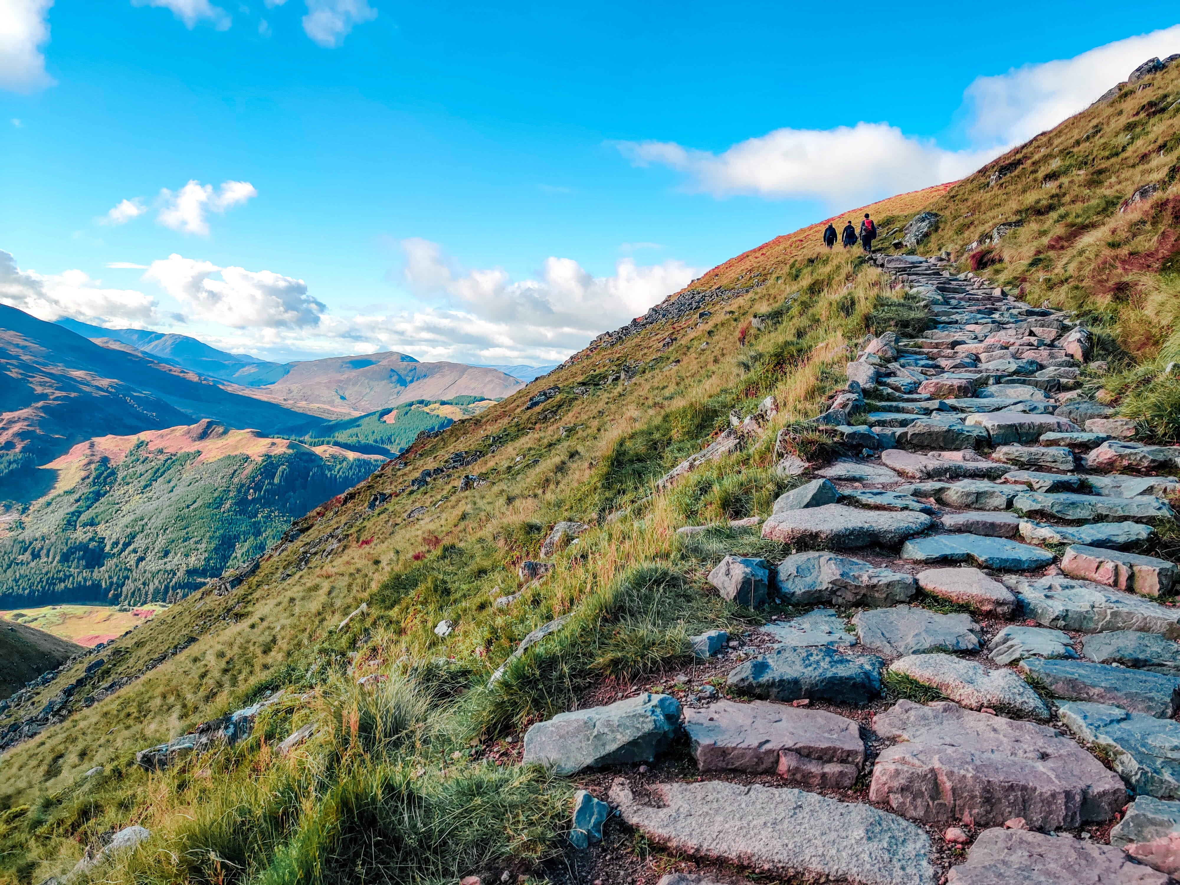
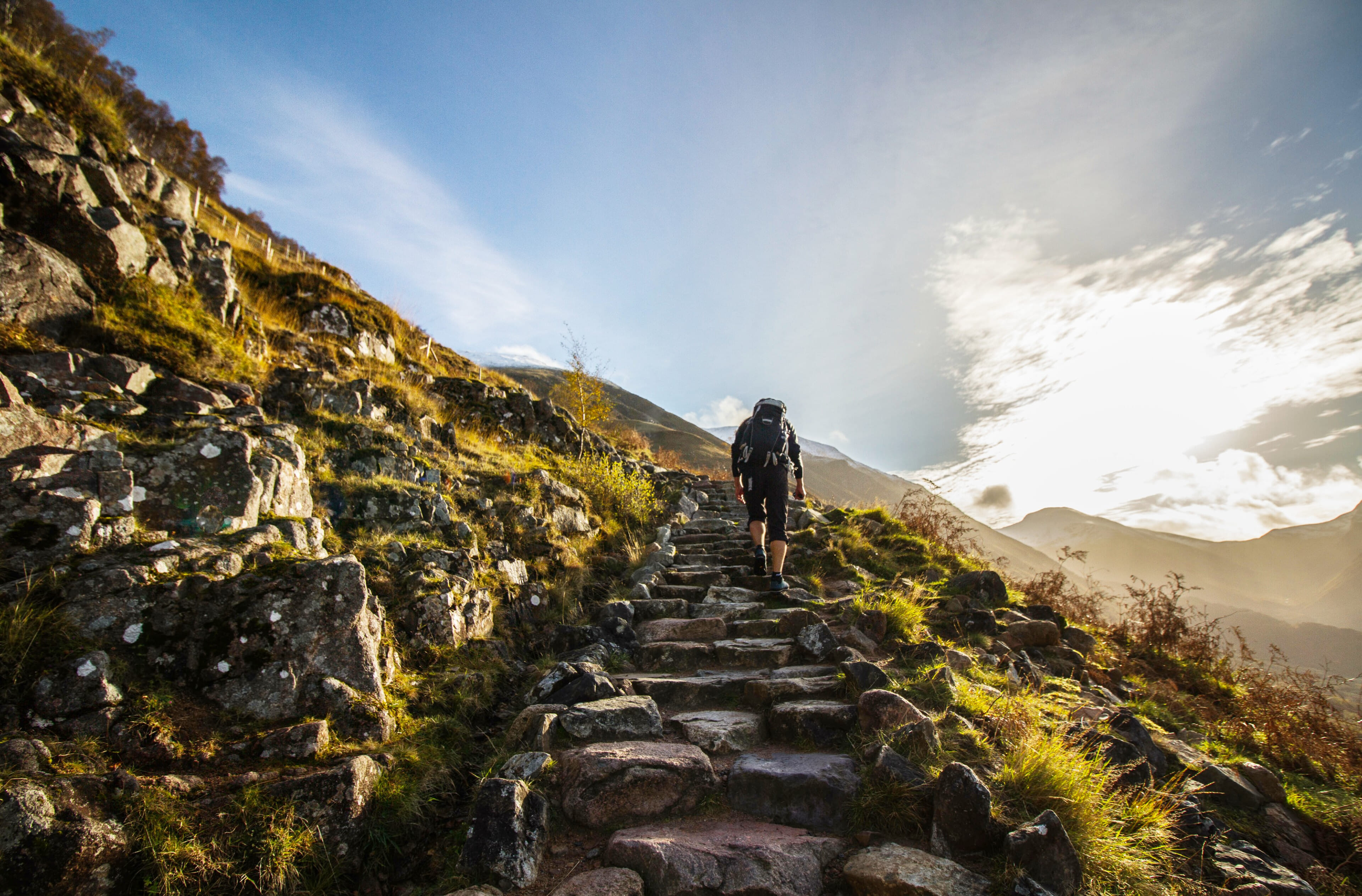
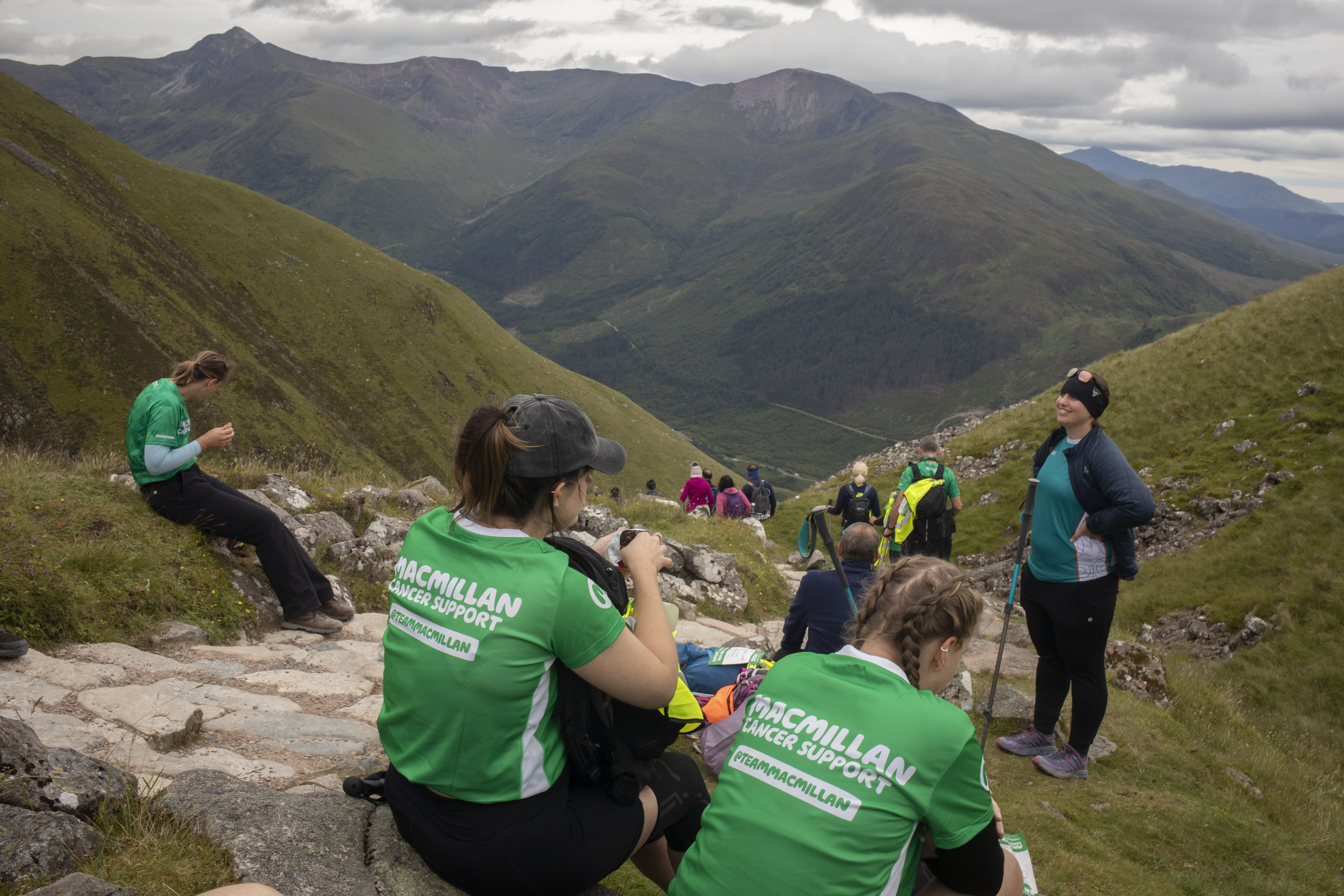
Defeat the Peak | Ben Nevis by Day Challenge
Make a mountain of difference to people living with cancer. Beginning in the beautiful Glen Nevis in the Scottish Highlands, this spectacular challenge will see you reach the top for beautiful views!
- 8 hrs hiking + 4413 ft ascent
- Sat 4 Oct
- £240-£260
Kinlochleven, Highland, UK
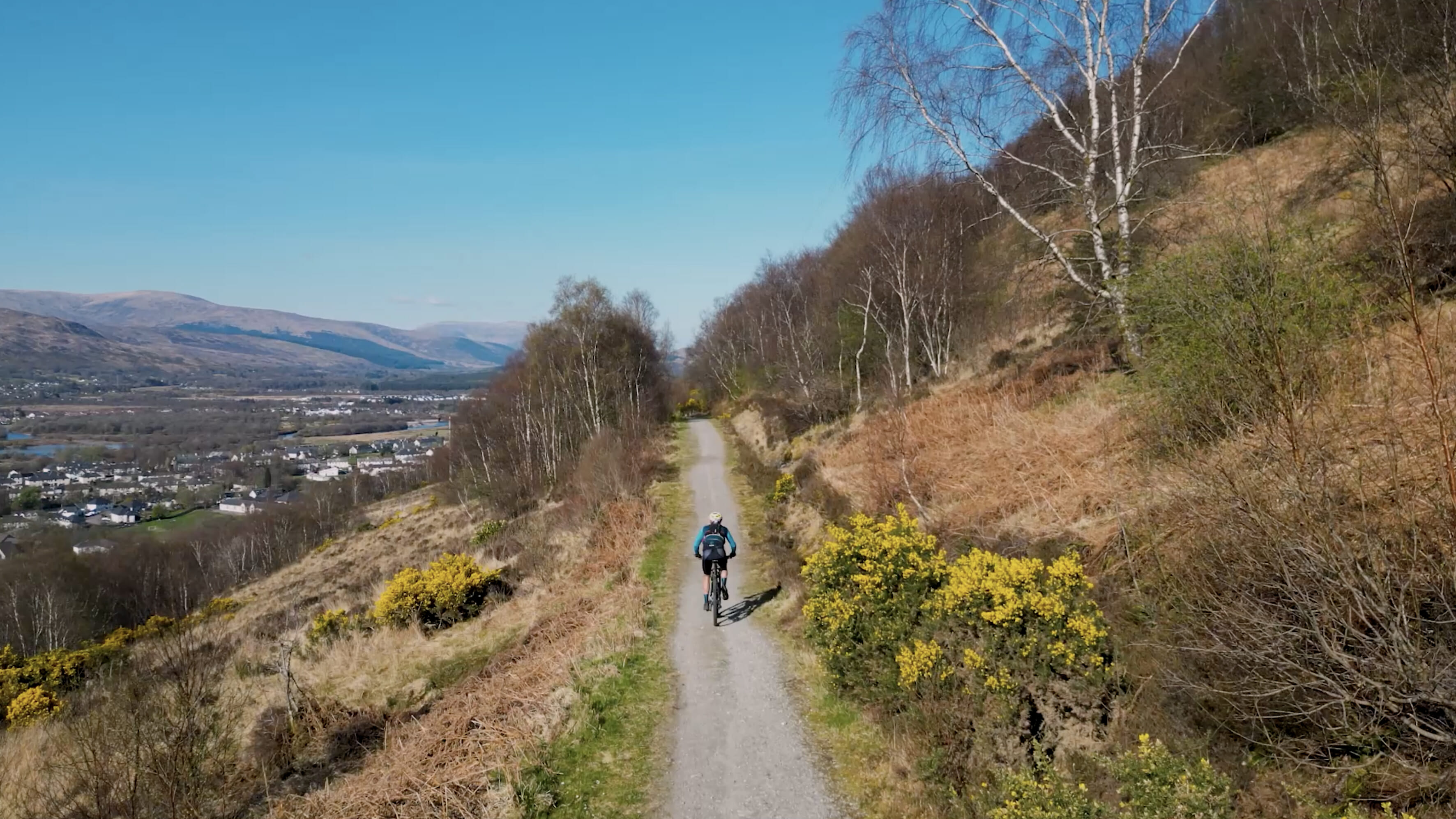
THE ROC SCOTLAND
THE ROC takes in the Highlands. Kinlochleven to the summit of Ben Nevis and back, including a Loch swim, stunning mountain/gravel bike sections and the UK's highest mountain!
- 1.5 km lake swimming
- 53 km mountain biking
- 18.5 km multi terrain running
- 5 mins read
#Freeyourself
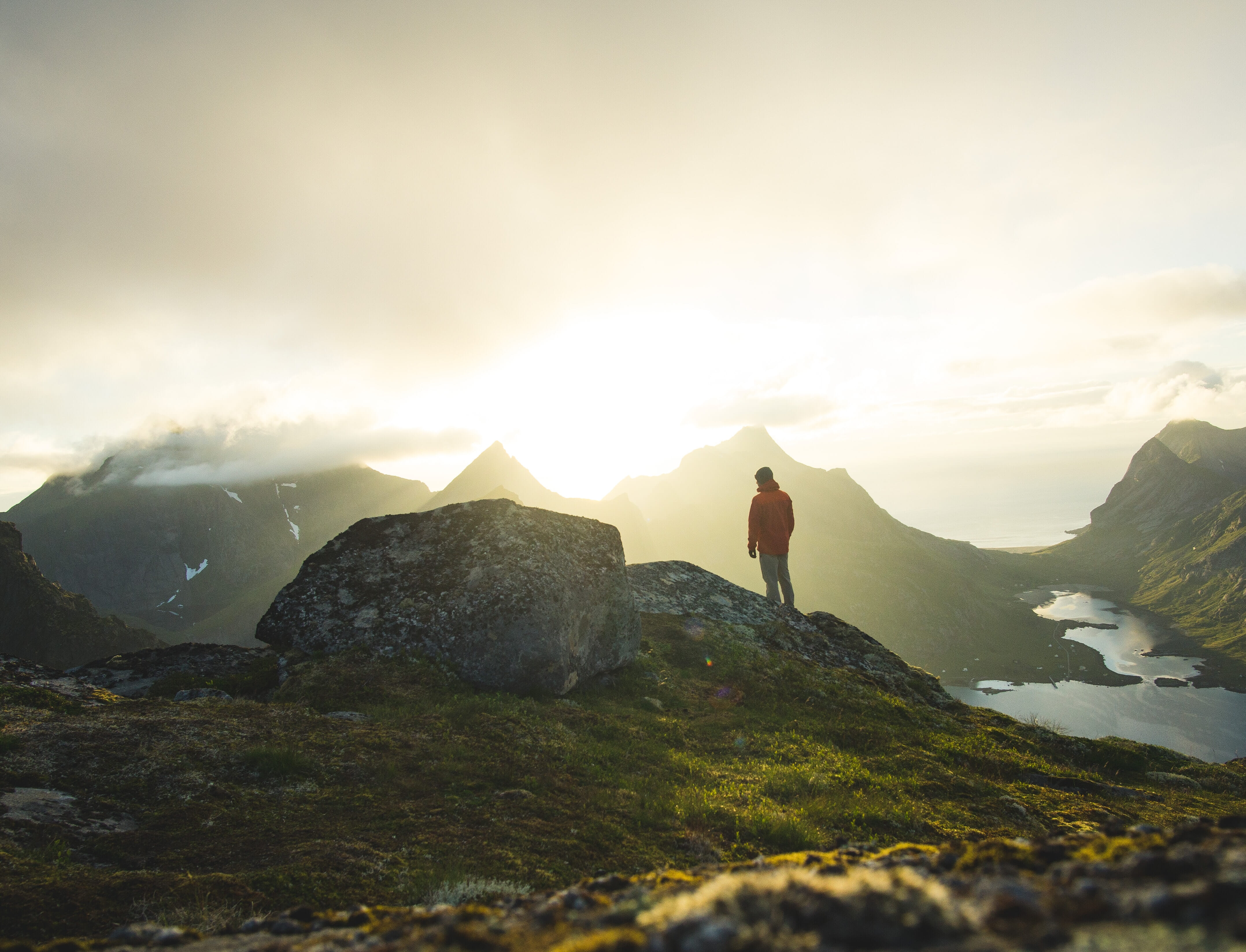
Why spending time outdoors is essential
Whether it's a grand adventure or a humble walk in the woods, being active outdoors is the best thing for your health and happiness - here's why.
Related challenges and adventures
Explore alternative challenges and adventures close to Ben Nevis! Sign up to our newsletter for offers and updates.
